A river bend is a line on a map only until the next map is made. Along the coastal Trinity River in Texas, two airborne laser surveys separated by a major 2015 flood recorded change across 55 bends. Some inner bars advanced farther than the opposite banks retreated. Farther downstream, in the river's backwater zone, outer-bank erosion outpaced bar growth. The bends did not all shift as identical curves. Jasmine Mason and David Mohrig's measurements show why a meander needs two edges in its story.
The familiar shorthand says that a river eats its outer bank and lays sand on the inner one. Often it does. Yet that description is a starting sketch, not a rule that fixes the position of every grain or the speed of every bank. A bend's shape emerges from the changing relation between flowing water, moving sediment and the strength of the ground beside the channel. Floods alter that relation in bursts; quieter flows continue the work between them.
The current has a depth as well as a direction
Viewed from above, water follows a curve. Within the channel, it moves in three dimensions. The strong downstream flow can be deflected toward a concave bank; a weaker cross-channel circulation can carry near-bed water and sediment in another direction. The deepest, fastest corridor may shift as flow enters and leaves the bend. Camporeale, Perucca and Ridolfi's original meander model describes how that secondary circulation, the sloping bed and the main flow can reinforce one another. The model explains a mechanism; it deliberately sets aside many complications of particular banks and floodplains.
Those complications are visible in field measurements. Researchers studying two sharp bends in the lower Jingjiang reach of the Yangtze used acoustic velocity profiles, sediment samples and before-and-after bed surveys at different discharges. At medium and high water, the head and platform of some point bars were scoured while sediment accumulated farther along their tails. Reduced incoming sediment after Three Gorges Project operation was part of that setting. The work does not turn every inner bar into an erosional surface; it shows that a raised bar can direct fast water across one part of itself and receive new sediment on another. The current's path depends on stage, bend shape and material supplied from upstream.
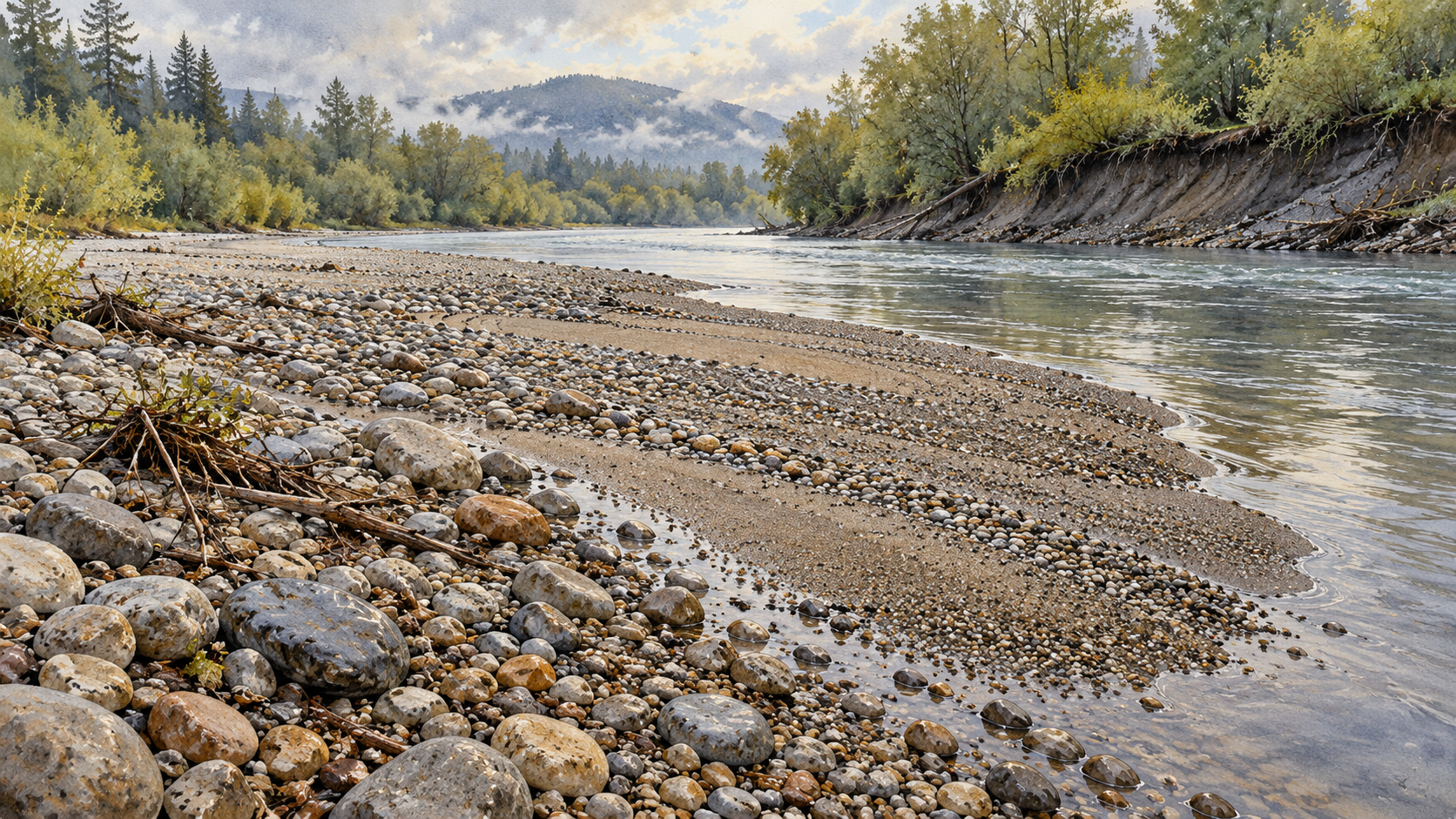
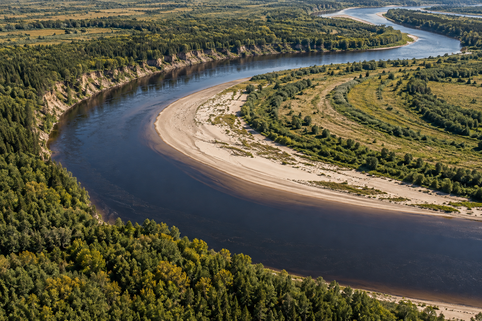
As water works on a bend, the outer bank may lose material by scour near its foot and by collapse of less supported ground above. The inner bank may gain layers where the flow can no longer carry all its sand. Neither process has to happen evenly along the arc. In the Trinity study, the greatest bank removal often occurred downstream of the point of tightest curvature, with deposition roughly across the channel. The position of that pair helps determine whether a bend expands outward, slides down-valley or changes its curvature. Calling a river a “left-bank eroder” would make no sense: outer and inner change sides as the channel curves, and even those labels do not predict every local patch of erosion or deposition.
Two banks do not keep exact accounts
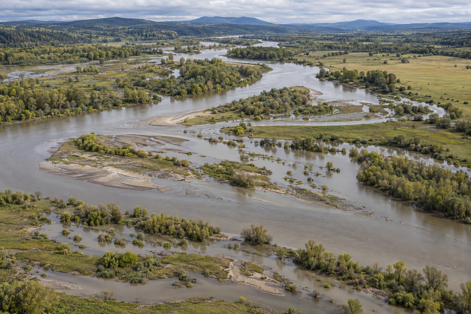
It is tempting to imagine that every metre lost from a cut bank appears immediately on the bar opposite, leaving a channel of constant width. Mason and Mohrig found a more uneven bargain. Upstream in their Trinity reach, deposition on point bars exceeded outer-bank removal on average during the survey interval. In the backwater reach, erosion exceeded deposition and the channel widened. The measurements include bathymetry as well as exposed ground, because a surface-only image cannot describe what changed below water. These results belong to one river and the years around a notable flood, not a fixed rate for meanders elsewhere.
A different timescale gives a different view. A U.S. Geological Survey study of the Tuolumne River in California compared lidar surveys from 2006 through 2018. Fifteen bank reaches showed measurable retreat, with the largest changes associated with high spring flow in 2017. Across the studied meadow reach, bar deposition and bank erosion broadly balanced over twelve years; the investigators found no clear overall trend toward widening or narrowing. That longer balance does not mean the margins stood still. A river can keep a roughly similar width while moving both edges, and an intense season can do an outsized share of the work.
The ground left behind records some of this movement. Curved low ridges on a floodplain, called scroll bars, can trace successive positions of an inner bank. In a second Trinity study, Mason and Mohrig combined lidar across 65 kilometres with eleven trenches. They interpreted the raised scroll ridges as small levees built along inner banks, including layers of reworked suspended sediment. Floodwater could erode their channel-facing edges. The ridges are thus more than decorative stripes on an aerial photograph, but their spacing is an imperfect clock for migration. Some pieces of the record have already been cut away.
Old channel traces can remain visible after water has taken another course. The USGS report notes paleochannels in Tuolumne Meadows, evidence of planform changes larger than those caught during its twelve-year survey. It does not date each trace or prove that the next bend there will follow the same path. A floodplain is an archive with missing pages: newer bars may cover older ground, while a later channel may erase the very ridge that would have marked its predecessor.
A shortcut is possible, not promised
A bend can lengthen until two limbs approach across a narrow neck. If water breaches that neck and the shorter route captures the flow, a neck cutoff leaves the long loop behind. A different shortcut, a chute cutoff, can cross a bar or floodplain without waiting for the loop's limbs to nearly touch. Both can abandon a channel segment; neither happens to every meander, and an abandoned loop may infill rather than remain an open oxbow lake.
The mechanics of a neck breach can be surprisingly intricate. Bangshuai Han and Theodore Endreny's laboratory river developed a cutoff while close-range mapping tracked water levels and the narrowing strip of sediment. As the neck narrowed, changes in bed height increased the water-level difference across it; seepage and scour helped open the shortcut in their experimental material. The authors warn that their model river used distorted scaling and a chosen sediment mixture. It identifies a possible route to a cutoff, not a forecast that groundwater will breach any particular natural bend.
At much larger scale, Yuan Li and colleagues mapped 1,132 cutoffs in satellite images from 1984 to 2021 across single-threaded Amazon-basin channels wider than 90 metres. They distinguished neck and chute forms and found neck cutoffs more common on lower-slope floodplains, while chute cutoffs were relatively more common in steeper settings. Their sample includes actual cutoffs, not a census of every bend that stayed intact. The pattern makes floodplain slope relevant to the kind of shortcut observed; it does not assign a destiny to one loop on one river.
After a cutoff, the work of the river does not end. Flow enters the new channel, sediment can begin filling the abandoned one, and the neighbouring bends adjust to a shorter path. A map may gain a crescent of water or only a faint swale in grass. That legacy is part of the changing shape, along with the bank freshly cut and the sand recently laid down.
To read a meander well, compare more than two outlines. Look for the fast corridor through the bend, the reach of the flood, the material removed from one bank, the bar built or scoured across from it, and the marks retained on the floodplain. The line on a map is the latest edge of a negotiation that remains in motion. Its next form is constrained by the ground and flow at that place, not by the neatness of the curve we happen to see today.
A thought worth keeping?