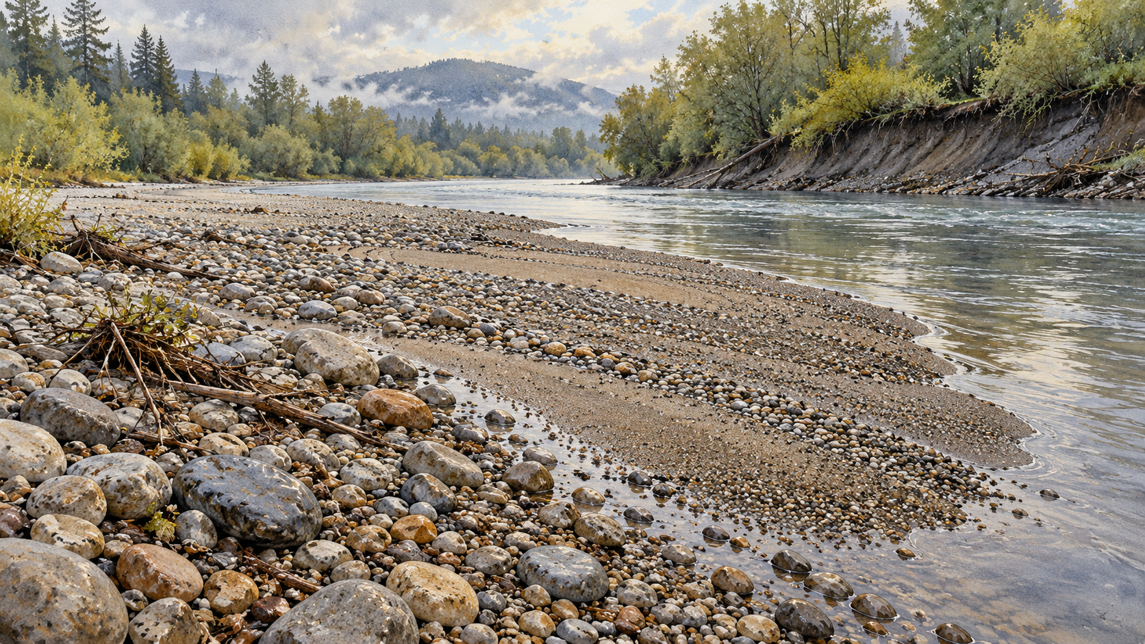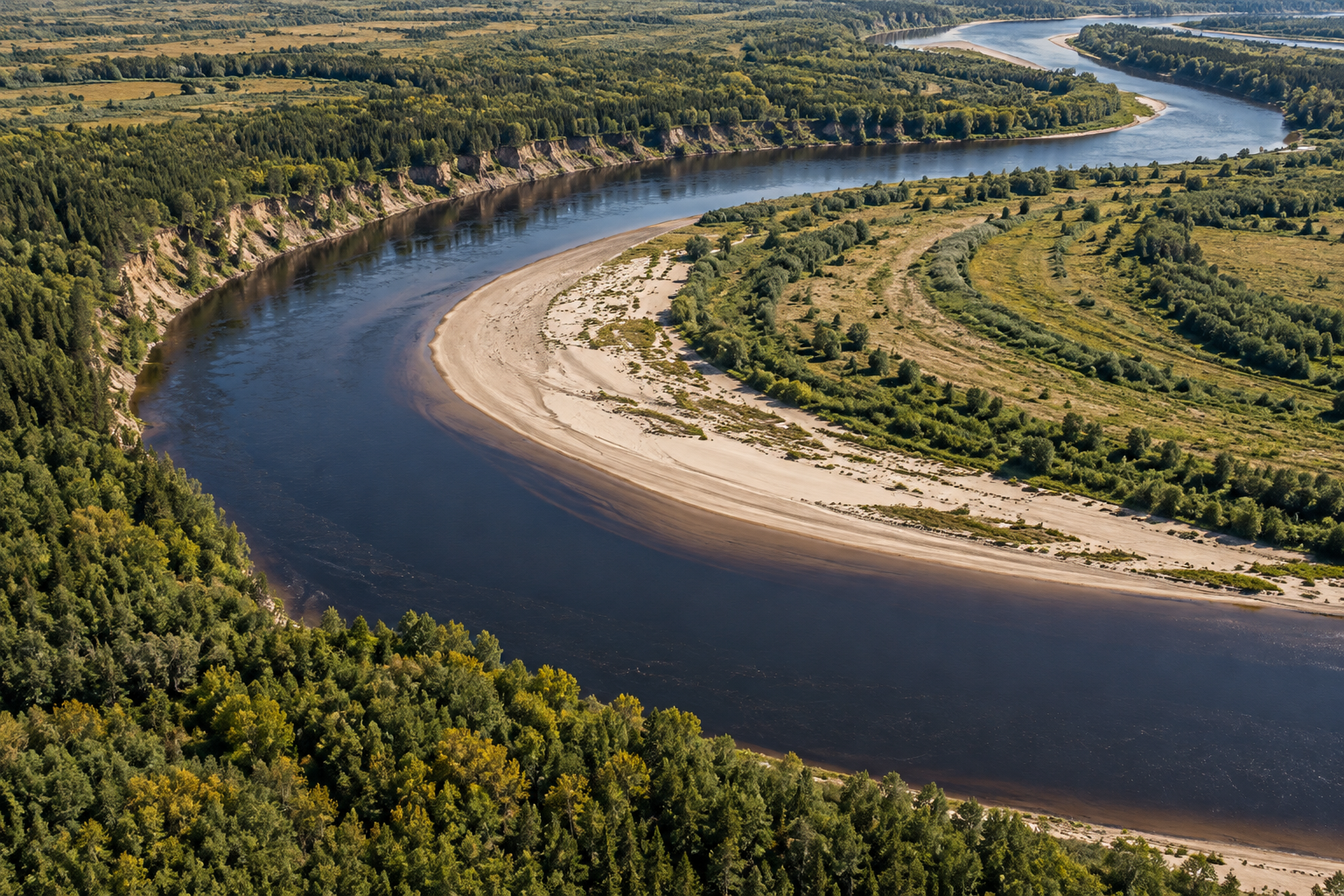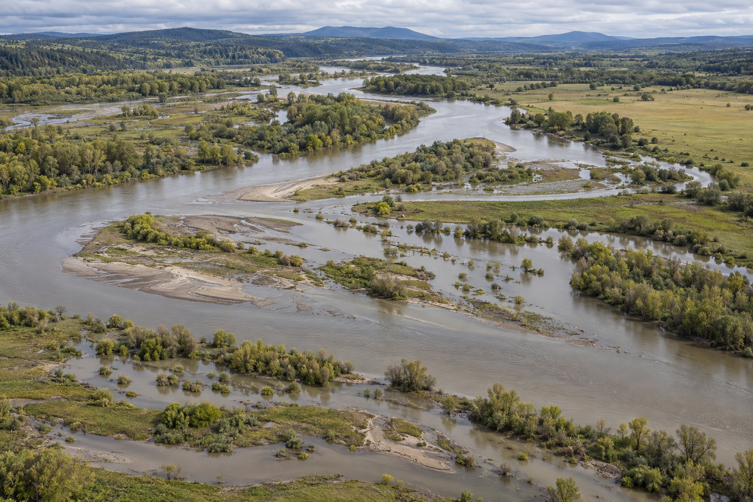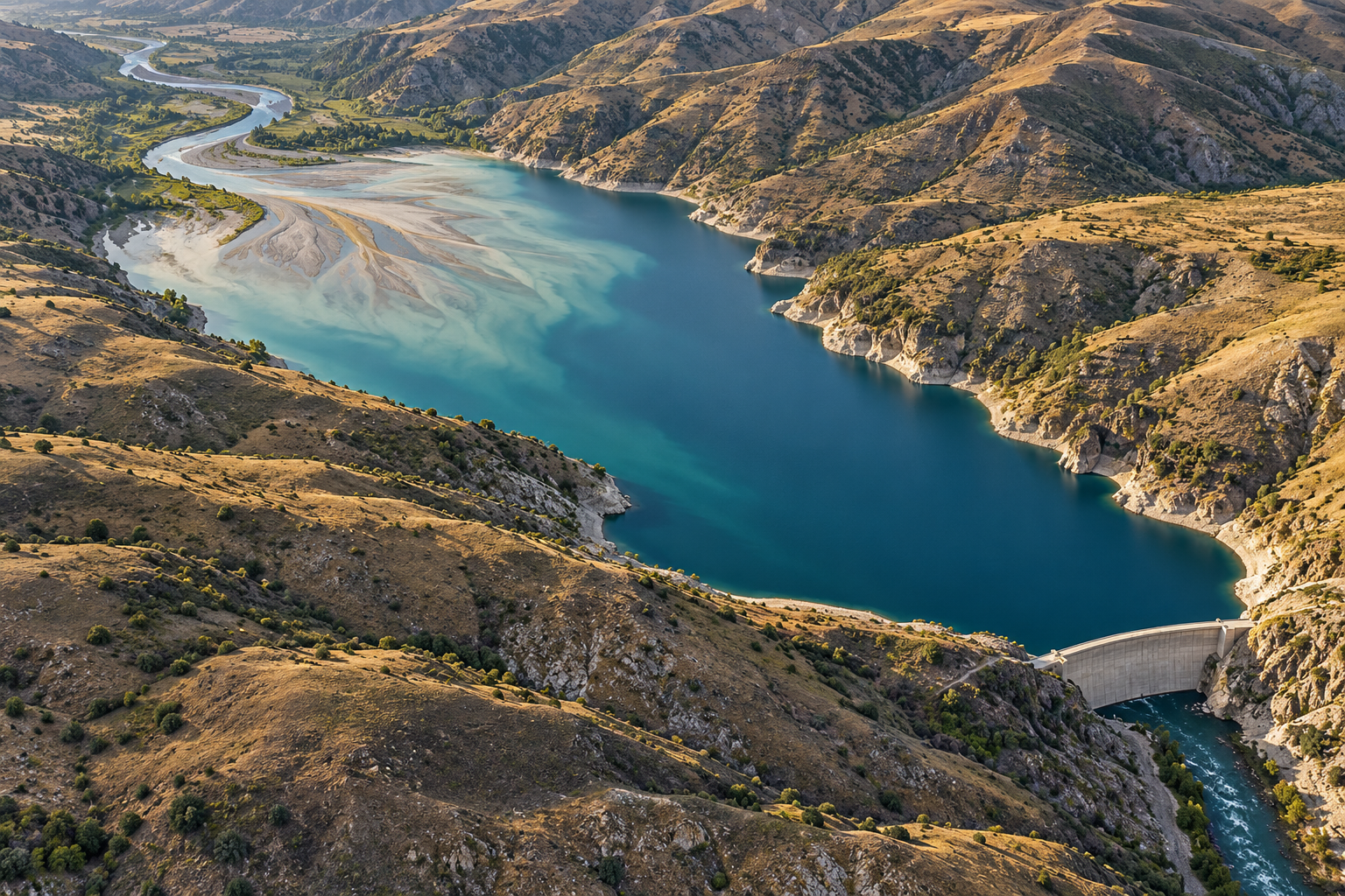
A river brings more than water to a reservoir. It carries grains worn from hillsides, banks and its own bed. Where the current enters the deep, slow pool behind a dam, some of that load can no longer stay in motion. Sand and gravel settle into a delta at the reservoir's upstream end; finer particles may travel farther before they fall. The dam has not made the sediment disappear. It has changed where the river puts it, and which reaches receive the next supply.
The deposit is measurable. Behind Englebright Dam on California's Yuba River, researchers compared the former valley floor with a 2001 survey of the reservoir and cored its accumulated layers. They estimated 21.9 million cubic meters of sediment had gathered in 61 years, occupying 25.5 percent of the reservoir's original storage capacity. The long, narrow deposit had coarse sand and gravel near its upstream top and finer silt and clay in deeper beds. The cores sampled the lower three-quarters more completely than the coarse upstream section, so the team identified greater uncertainty in its estimate there. A volume in a reservoir is a finding from maps, soundings and samples, not a pile someone can count one grain at a time. Englebright study
The storage space is part of the story
Every layer that settles occupies room once available for water. The effect is not always captured by a single headline percentage. A U.S. Geological Survey resurvey of California's San Antonio Reservoir in 2018 found sediment covering its lowest intake; an intake higher above the bed remained usable. Yet the team's modern estimate of total capacity was greater than the original estimate made from a 1963 topographic map. The apparent gain was attributed to better surveying, not to sediment somehow creating water storage. At a common elevation on the two stage-capacity curves, the researchers found a loss consistent with deposition. Their example shows why reservoir managers need comparable measurements and the position of working intakes, not simply two numbers labeled “capacity.” USGS San Antonio survey
Keeping sediment out of a reservoir can protect storage. But the same grains may have had a job farther downriver. In an original U.S. Geological Survey comparison of channels below 21 dams, sediment concentrations and loads fell markedly, sometimes for hundreds of kilometers. River beds often lowered and their surface grains became coarser after construction, though the amount and timing varied. Channel width could increase, decrease or stay much the same. The study also recorded changed flood peaks; it does not permit every downstream alteration to be blamed on missing sediment alone. USGS downstream-dams study
Glen Canyon provides a particularly measured case. After Glen Canyon Dam began trapping fine sediment from the upper Colorado River, the river below it incised, armored with coarser material and narrowed. A study drawing on more than 45 years of surveys found that much of the bed lowering in one reach happened in 1965, when dam operations sent a series of high flows through the canyon. The sediment deficit mattered, but the timing and magnitude of water releases mattered too. Calling the released water “clear” captures only one part of a changed river: it still has energy to move the sediment available in its bed and banks. Glen Canyon channel study
What reaches the coast
Sediment budgets do not stop at the next bend. Sand can build bars and beaches; finer particles can be carried into an estuary or offshore. On Washington's Elwha River, two dams held a large store of sediment while the coastal delta eroded. Their phased removal beginning in 2011 gave researchers a rare chance to follow a renewed supply. During the first two years, surveys found about 2.5 million cubic meters of new deposition around the river mouth, roughly one hundred times the earlier measured deposition rate. Much of the deposit lay in shallow water immediately offshore and was sand and gravel. Currents dispersed much of the finer material farther afield. That result describes a particular short, steep river and its coast, not a promise that removing any dam will build a beach. Elwha coastal study
The longer Elwha record adds another complication. A five-year sediment budget estimated that about 65 percent of the exposed reservoir sediment eroded. Only around a tenth of the eroded material was deposited in the river system the researchers measured; much continued toward the coast. The river's channel and delta changed on different schedules, and waves continued to rearrange material at the mouth. A dam removal can therefore produce a short pulse of stored sediment while also restoring a longer-running upstream supply. Whether the pulse moves swiftly, stalls or spreads depends on grain size, flow and valley shape. Five-year Elwha study
The problem grows harder across a chain of reservoirs. A 2024 study of the Mekong combined river measurements with scenarios for operating its large upstream dams. Even its most optimistic modeled sluicing scenario delivered an estimated 62.3 million tonnes of sediment to the delta, below a historical range of 100 to 160 million tonnes. The authors argued for routes that move sediment through or around reservoirs. Their number is a scenario result, and the delta's future also depends on other pressures, including extraction of sand and water and rising seas. Still, the comparison shows why simply changing release times for water may not restore the grains a coast once received. Mekong research
The practical choice at any dam depends on its purpose, sediment, outlets and downstream river. An Englebright core, a San Antonio depth survey and the Elwha's removal record answer different questions; none supplies a universal instruction to dredge, sluice or demolish. Together they make one point hard to miss. Sediment is neither mere dirt in a reservoir nor an automatic cure for a coast. It is part of a river's moving material budget. A dam changes the ledger on both sides of its wall.
A thought worth keeping?