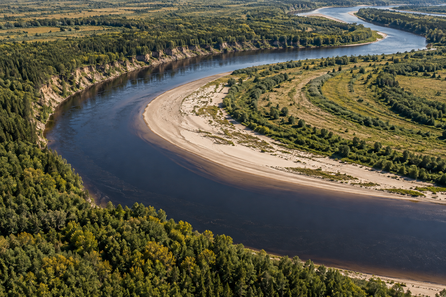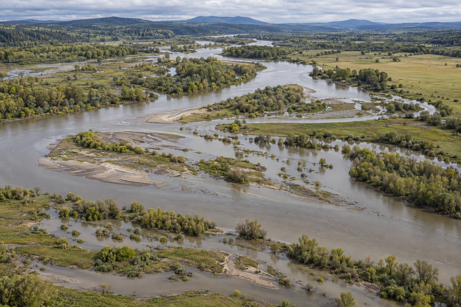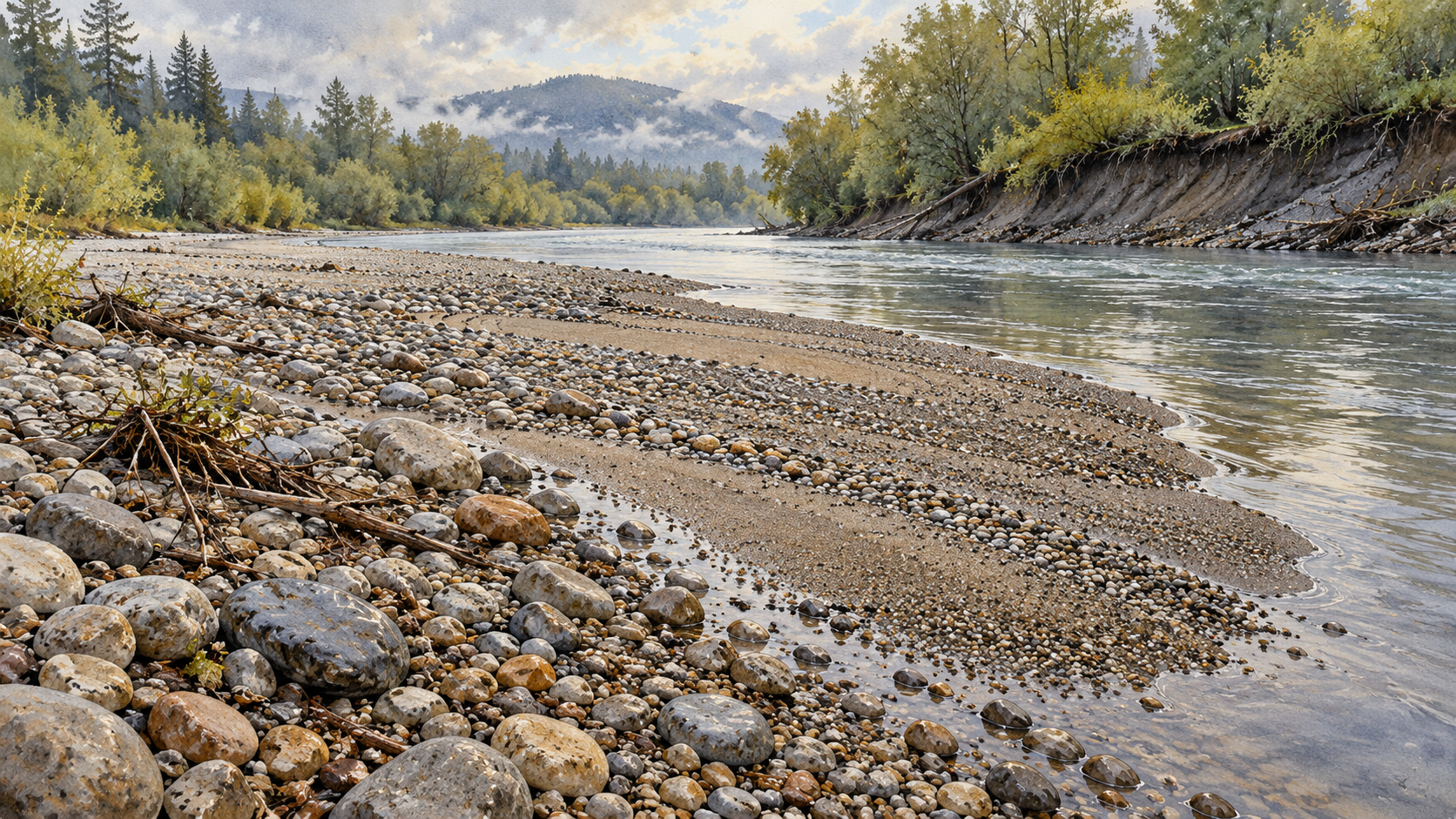
When floodwater withdraws, a gravel bar can seem newly made. Pale stones lie where the current had run; a narrow fringe of sand may mark the edge of a channel that was wider days before. Yet the bar need not be a heap delivered in one journey. Some of its stones may have stayed put through the flood. Others may have arrived from an eroding bank, travelled a short distance along the bed, and stopped as the flow weakened. What the bar records is the river's exchange of material across several places and hours.
Gravel is usually called bedload when it travels along or near the streambed, rolling, sliding, or hopping in the current. Finer material can be carried in suspension. A rising river has more power to move its bed, but flow alone does not decide what a bar receives. There must also be movable sediment available upstream or beside the channel. The US Forest Service sediment-transport primer describes bars as stores of transported material and, for that reason, sensitive places in which to look for changes in the balance between sediment entering and leaving a reach. The bar is an inventory at a location, not a meter that reads flood strength directly.
Where the stones came from
One flood can both cut a bank and build a bar. After the 1996 and 1997 floods on Montana's upper Yellowstone River, a US Geological Survey investigation documented bank erosion and hillslope failures that supplied sand, gravel, and cobbles. Some of that material became flood-bar deposits. Those bars then formed a supply that later floods could move again. The study did not infer the river's transport from the appearance of a single bar: researchers surveyed cross sections, counted and sieved bed particles, and sampled moving bedload and suspended sediment over later runoff seasons.
That distinction between supply and carrying capacity changes the reading of an exposed patch. A broad, clean bar may mark a place where sediment arrived faster than the local current could carry it away. A thin or shrinking bar can reflect evacuation of existing gravel, a shortage of new material, or both. In linked channel experiments, Venditti and colleagues formed alternate bars under steady flow and sediment supply. When they stopped supplying sediment, the bar forms eroded and disappeared even though the flow could still move grains. Restoring supply rebuilt the bar topography. Those controlled channels are not replicas of every river, but they make a crucial point visible: the same flow need not leave the same bar when the supply changes.
The bar's position also carries information. In a bend, deposition on the inner side can accompany erosion on the outer side. At a narrowing or widening, the local flow and room available for gravel may change again. A before-and-after survey of 51 stream sites near Duluth, Minnesota followed the June 2012 flood with field measurements and comparisons to earlier surveys and photographs. Investigators found bank erosion, channel widening, and gravel-bar deposition in lower alluvial reaches; coarse bars appeared more widely than expected, including near road-crossing constrictions and in local gentler sections of steep streams. A bar in that landscape could not be understood from flood peak alone. Its valley position and nearby channel geometry mattered.
What stayed through the flood
The loose-looking surface invites an easy mistake: assuming every stone was laid down by the last high water. Konrad and colleagues set arrays of small metal tags in seven gravel bars and checked which tags disappeared during floods. They found partial entrainment. The fraction moved varied with the force of a flood, but also with the history and local structure of the bar. Some areas showed persistent tendencies toward stability or instability across a wet season. A bar can therefore preserve old material under or beside fresh deposits; its visible skin may be younger than part of its body.
Grain size is another clue that needs care. A coarse patch may be a fresh concentration of large stones, or it may be an older surface left behind as smaller grains were removed. Fine gravel may settle in a sheltered margin while stronger flow continues to pass over the main channel. The Forest Service primer warns that surface material and the moving load do not generally have the same grain-size mix, because transport selects among sizes. It also advises sampling different bed regions separately rather than projecting one handful of pebbles across the whole channel. An impressive cobble on the crest cannot, by itself, tell us the flood's maximum discharge. Its origin, exposure history, local depth, and the smaller grains around it all matter.
The sequence within a flood matters too. In a field-scale experimental meander published in May 2026, researchers ran repeated rising, peak, and falling flows through an erodible gravel channel and mapped its bed and banks many times. Brief peaks drove much of the widening in that experiment, while the longer rising and falling parts performed much of the work within the channel. Different bends responded differently under the same imposed flow. It would be wrong to transfer the experiment's percentages to a natural river. Its value here is in showing why a post-flood bar is the end of a sequence: the highest water, the hours before it, and the retreat all had chances to sort, remove, and deposit gravel.
Freshness is therefore relative. A light-coloured strip can be a recent deposit, yet the bar below it may have survived several events. A bank scar can identify a possible source without proving that every nearby stone came from it. A ridge on the bar may show where material was retained, but not how much sediment passed through the reach unseen. Even a river that appears unchanged at low water may have exchanged gravel at the surface and then returned to a familiar outline.
Reading beyond the surface
To make a stronger account of one flood, investigators compare the bar with an earlier record. Repeated photographs locate what grew or vanished. Cross sections and elevation surveys show whether a reach gained material, lost it, or merely moved it from one side to another. Grain-size counts distinguish coarse and fine patches. A stream gauge records the timing and size of the water rise, while sediment samples can show what actually travelled. None of these measurements is a universal decoder; together they narrow the possible histories of the stones.
The bar can also change the next flood's route. The Duluth investigators noted that some coarse bars might remain and locally turn flow toward a bank, with continued erosion possible. In a separate set of gravel-replenishment flume experiments, Rachelly and colleagues found that added material could be retained as fresh patches on point bars, but the pattern of erosion and deposition depended strongly on sediment supply and discharge. These are bounded observations from a particular field survey and controlled channels, not predictions for an unnamed river. They show why the bar is both an outcome of past water and part of the bed the next current will meet.
A post-flood bar records what stopped here, what was stripped away, and what endured. Its shapes and sizes give a reader questions: where did the gravel enter, which parts of the bed moved, where did the current lose the ability to carry it, and what remained from earlier flows? A single walk across the stones will not answer all of them. Paired with a record of the river before and during the flood, the bar becomes a much sharper account of what the water did.
A thought worth keeping?