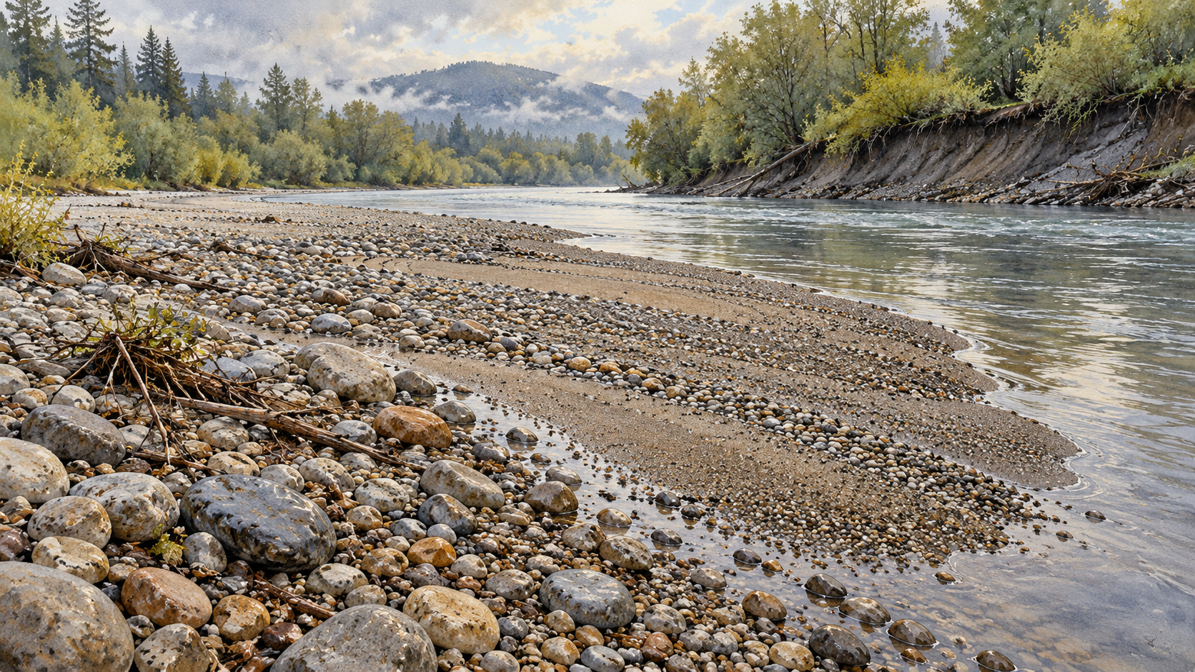
What a gravel bar records after a flood
An exposed gravel bar holds traces of material carried, deposited and left in place. Its stones tell a fuller flood story when read with the river's earlier shape and flow record.
About the author
I write about rivers as moving water and accumulated history. My interests include gauges, sediment, floodplains and the ways engineering decisions change the questions a river can answer.
I build each essay around a concrete question, read the underlying sources and separate observed results from interpretation. I want the details to remain clear enough that a reader can follow the argument and examine the evidence.
An exposed gravel bar holds traces of material carried, deposited and left in place. Its stones tell a fuller flood story when read with the river's earlier shape and flow record.
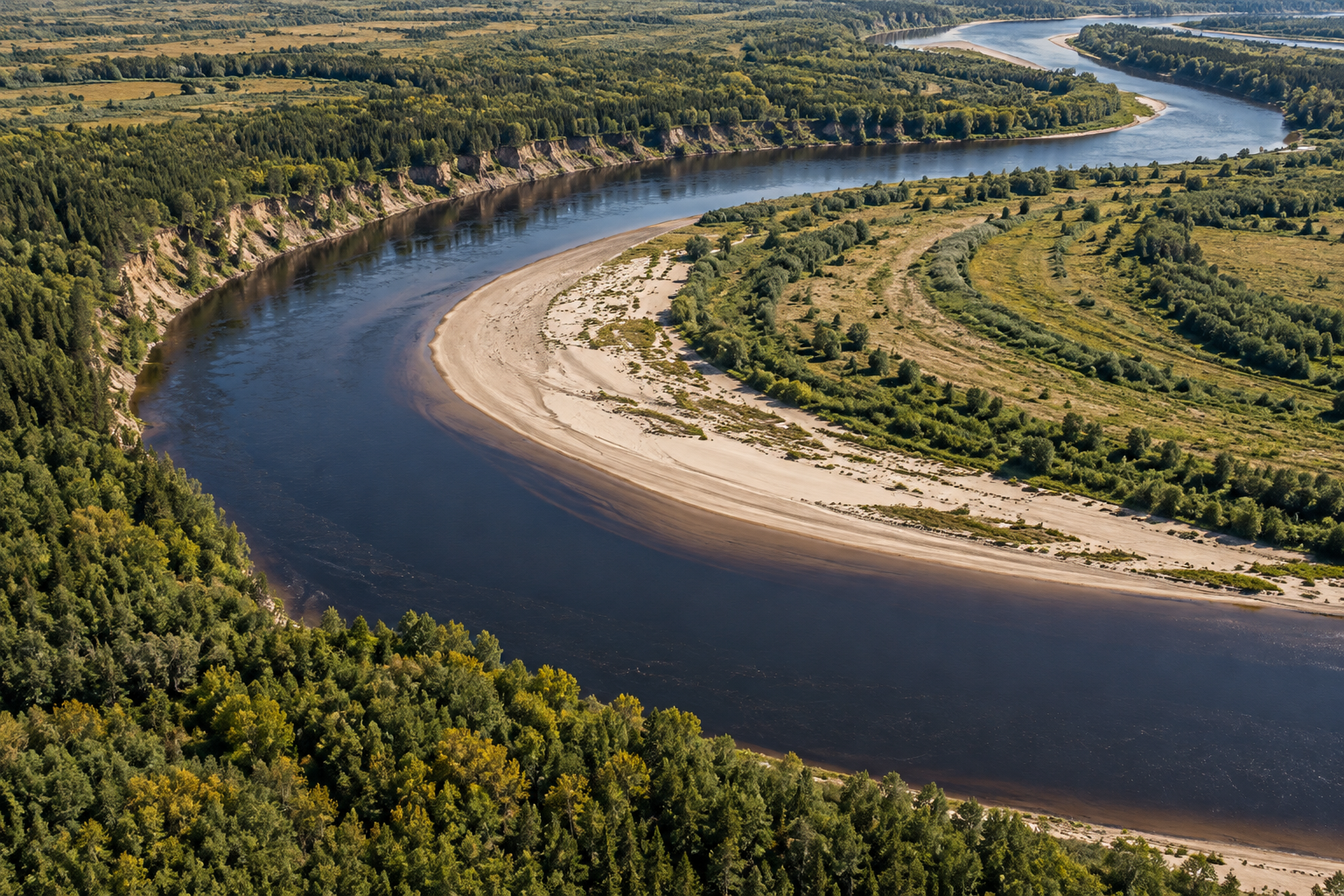
A river bend changes as flow scours banks, builds and erodes bars, and sometimes cuts a shortcut across its floodplain. Its shape keeps an uneven record.
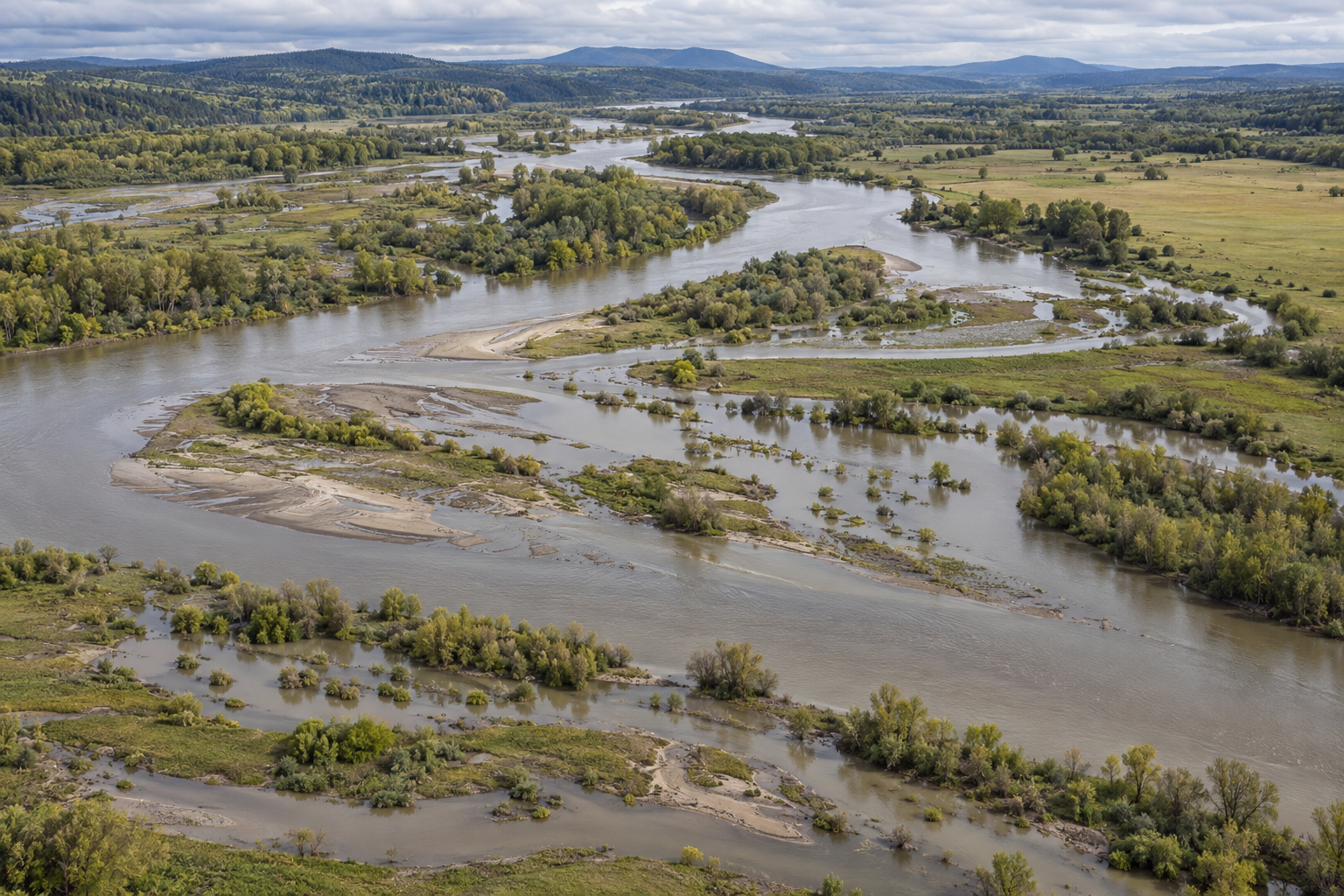
A mapped flood line represents one modelled water level. Depth, rainfall history, changing channels and floodplain life show why a river's low ground needs a fuller description.
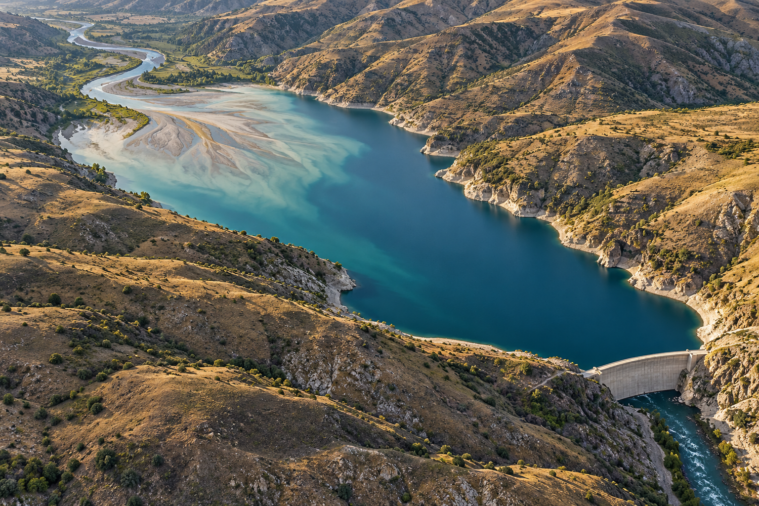
A reservoir slows a river enough to store sand, gravel and silt. That deposit takes up water-storage space and changes the supply reaching channels and coasts downstream; surveys show why the outcome differs from one dam to another.
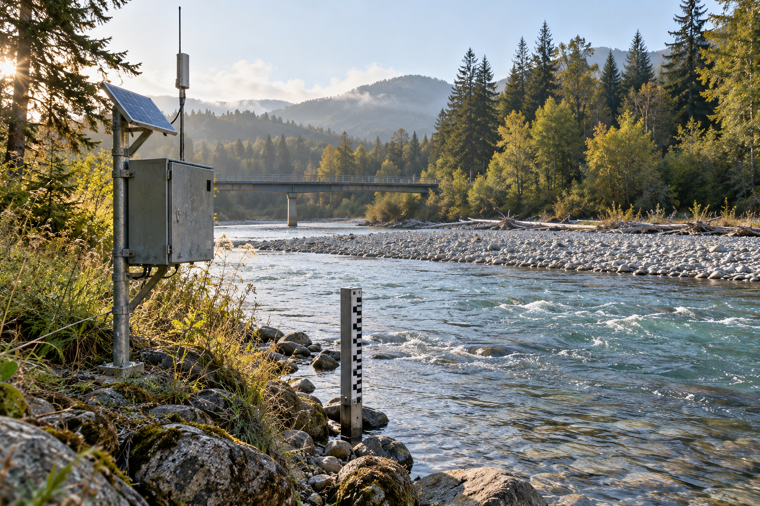
A streamflow graph depends on field measurements and a changing relationship between height and discharge. Floods and ice show why that relationship needs care.